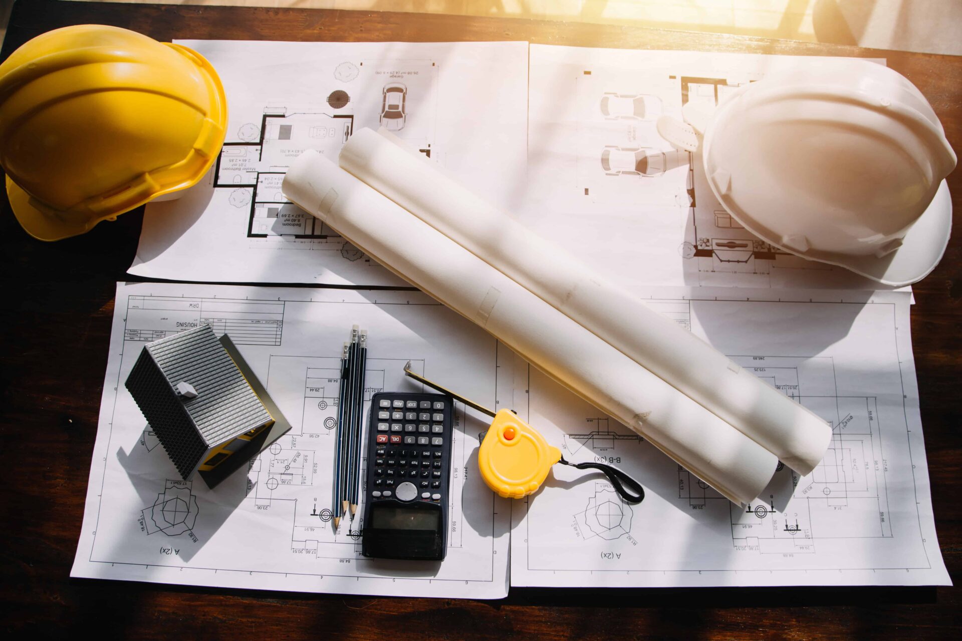
How to Get a Property Survey in Florida
A property survey is more than just a legal document and offers more than boundary lines. It’s a valuable tool for enhancing your Tampa home, providing a detailed blueprint of your property’s unique features—something especially important in Tampa’s coastal environment.
Why do they matter? Surveys help identify potential issues before they become costly problems, potentially saving you thousands in the long run. Clearly defined boundaries prevent legal headaches with neighbors. They also ensure your renovation projects comply with zoning laws and won’t encroach on adjacent properties. Accurate surveys add credibility and transparency for potential buyers. Plus, they may also increase your home’s value!
By understanding your property’s boundaries and features, you can make informed decisions about landscaping and renovations.
What is a Property Survey?
Property surveys provide detailed measurements and descriptions of land parcels. These land surveys play a crucial role in protecting your interest as a homeowner by clearly defining property boundaries and identifying potential encroachments.
For Tampa homeowners, understanding how to get a property survey in Florida is important for maintaining property values and planning future developments. Florida’s coastal areas and diverse terrains present specific challenges for surveyors. Accurate surveys not only help resolve property disputes for Tampa residents but also ensure compliance with local zoning laws and building codes. By investing in a professional land survey, you can make informed decisions about your property and safeguard your investments for years to come.
Florida Laws Governing Property Surveys
In Florida, property surveys are governed by a comprehensive set of statutes designed to ensure accuracy and protect property owners’ interests. These laws outline specific requirements for land surveying practices, including the use of standardized methods and equipment. Surveyors in the Sunshine State must obtain a license from the Florida Board of Professional Surveyors and Mappers, demonstrating their expertise and commitment to ethical business practices.
Florida law recognizes properly conducted surveys as legally valid documents, playing a crucial role in property transactions and dispute resolution. These surveys interact closely with property deeds and titles, providing essential information about boundaries, easements, restrictions, and encroachments. Recent legislative changes have further emphasized the importance of up-to-date surveys in real estate transactions, particularly in areas prone to environmental changes.
Resolving Legal Boundary Disputes with Survey Evidence
When property line disagreements of Florida land arise, a land survey often serves as the cornerstone of resolution. These documents provide objective evidence that can help neighbors settle disputes amicably or, if necessary, support legal claims in court. The legal process for addressing boundary issues typically begins with a thorough review of existing surveys and property records.
Florida courts place significant weight on professional survey evidence, considering it reliable for decision-making in property disputes. For this reason, it’s crucial for Tampa homeowners to maintain accurate and current survey records. Neglecting to address boundary discrepancies can lead to serious consequences, including potential loss of property rights or costly legal battles.
Types of Property Surveys Available in Florida
There are a couple of land surveys you can get in Florida, so it depends on what you’re looking for. A title company could also request one to accurately assess the property boundaries and determine the legal description before issuing a title insurance policy. This ensures they can correctly identify any potential issues that could affect ownership and protect the buyer from future legal problems.
Defining Your Property Lines with a Boundary Survey
Boundary surveys are essential for Tampa homeowners who want to clearly define their property’s exact boundaries. These surveys provide a detailed report of the legal boundaries across your entire property, ensuring you know exactly where your property begins and ends. The process involves meticulous measurements and research, including reviewing historical deed records and existing property markers.
A comprehensive boundary survey report typically includes a precise map of your property, detailing the location of buildings, fences, and other structures in relation to your property lines. This information is invaluable when resolving disputes with neighbors or planning renovations that might infringe on property boundaries. A boundary survey is a crucial first step for Tampa homeowners considering additions or major landscaping projects.
The duration of a boundary survey in Florida can vary depending on the property’s size and complexity. Generally, the process takes a few days to a couple of weeks, including fieldwork and report preparation. Experienced surveyors in Tampa are familiar with the unique challenges posed by the local landscape, ensuring accurate results tailored to your specific property.
Topographical Surveys For Landscape and Construction Planning
Topographical land surveys go beyond simple property lines, providing a detailed map of your property’s physical features. Topographic surveys capture elevation changes, natural and man-made structures, and even underground utilities. This comprehensive view of your land is invaluable for construction projects, landscape design, and overall property planning.
ALTA/NSPS Surveys: The Gold Standard
If you’re involved in a commercial transaction or need a comprehensive view of your property for a title company, an ALTA/NSPS survey is the way to go. These surveys meet national standards and provide a thorough evaluation of your property.
The Land Survey Process in Florida
The land survey process with a professional land surveyor is pretty straightforward.
Choosing the Right Surveyor in Tampa
When it comes to selecting a property surveyor in Tampa, the right professional can ensure accurate results and a smooth sale process, while the wrong choice may lead to costly errors and legal complications.
Start by researching local professionals with experience in the Tampa area; look for licensed surveyors with positive reviews and a track record of accuracy. During initial consultations, ask about the surveyor’s experience with similar properties in Tampa. Inquire about their process, timeline, and the type of equipment they use. It’s also important to understand their quote structure and factors that might affect the final cost.
- First and foremost, verify that the surveyor holds a valid Florida state license and relevant certifications.
- Look for surveyors with extensive experience in Tampa’s unique property landscape, as they’ll be familiar with local challenges and regulations.
- Consider specialists who cater to your specific survey needs, whether it’s boundary delineation, topographical mapping, or ALTA/NSPS surveys.
- Professional memberships in organizations like the Florida Surveying and Mapping Society demonstrate a commitment to ongoing education and industry best practices.
- Don’t overlook the importance of insurance and liability coverage. A reputable surveyor should carry adequate professional liability insurance to protect both themselves and their clients in case of errors or omissions.
When interviewing surveyors, inquire about their experience with properties similar to yours in Tampa. Ask them to explain their survey process and provide an estimated timeline for completion. Discuss potential challenges specific to your property and how they plan to address them. Don’t hesitate to request references or examples of their past work in the Tampa area.
Preparing For a Survey
Once you’ve identified potential surveyors, gather essential information about your property. This includes your property address, lot number, and any existing survey documents you may have. Be prepared to discuss your specific survey needs, whether it’s for boundary determination, construction planning, or legal purposes.
The On-Site Survey
When the surveyor arrives at your Tampa property, they’ll begin by assessing the land and identifying existing boundary markers. Modern surveyors use a combination of high-tech equipment, including GPS devices, total stations, and sometimes even drones for aerial mapping.
The duration of fieldwork varies depending on the survey type and property size. A simple survey determining land boundaries might take a few hours, while a comprehensive ALTA/NSPS survey could require multiple days. As a property owner, your role during this process is primarily to provide access to the property and answer any questions the surveyor might have.
Property Survey Costs For Florida Land
What impacts the price of your property survey? The size of your property and the complexity of its terrain play significant roles in determining the price. Larger properties or those with challenging landscapes often require more time and resources to conduct a survey accurately.
The type of survey you need also affects the cost. Boundary surveys are typically less expensive than comprehensive topographical or ALTA/NSPS surveys. The accessibility of your property and the condition of existing boundary markers can influence the surveyor’s time and effort, potentially affecting the final price.
Additional research or retrieval of historical documents may be necessary for some properties, particularly those with complex ownership histories. This extra work can add to the overall cost of the survey. It’s also worth noting that seasonal variations can impact surveying costs in Florida, with peak seasons potentially commanding higher prices due to increased demand.
Cutting-Edge Technology in Modern Surveying Services
Drone technology has revolutionized property surveying in Florida. Drones offer a bird’ s-eye view of properties and capture high-resolution images and data with incredible efficiency. For large or complex properties in Tampa, drones are a cost-effective solution to gather comprehensive survey information quickly. Drone surveys complement traditional methods by accessing hard-to-reach areas to create detailed maps that enhance the overall survey quality. Future developments may include improved sensors, longer flight times, and AI-powered analysis tools, further streamlining the surveying process for Tampa property owners.
Global Positioning System (GPS) technology has also become an indispensable tool in modern property surveying. Over the years, GPS accuracy has improved dramatically, allowing surveyors to pinpoint locations with centimeter-level precision.
Selling Your Tampa Home? Let Me Help
If you’re preparing to sell, an updated property survey is a powerful tool. Buyers value transparency, and a current survey can expedite sales while increasing buyer confidence. Plus, it demonstrates that you’ve taken care to maintain your property.
As a local real estate agent who’s lived here all my life, I specialize in helping Tampa homeowners like you make confident, informed choices. From connecting you with trusted surveyors to marketing your home for maximum value, I want to help make your experience as seamless as possible every step of the way! Contact me today, and let’s take that Tampa dream home from a vision into reality!